DRONE SURVEYING SERVICES
CONNOR Drone Surveying Services
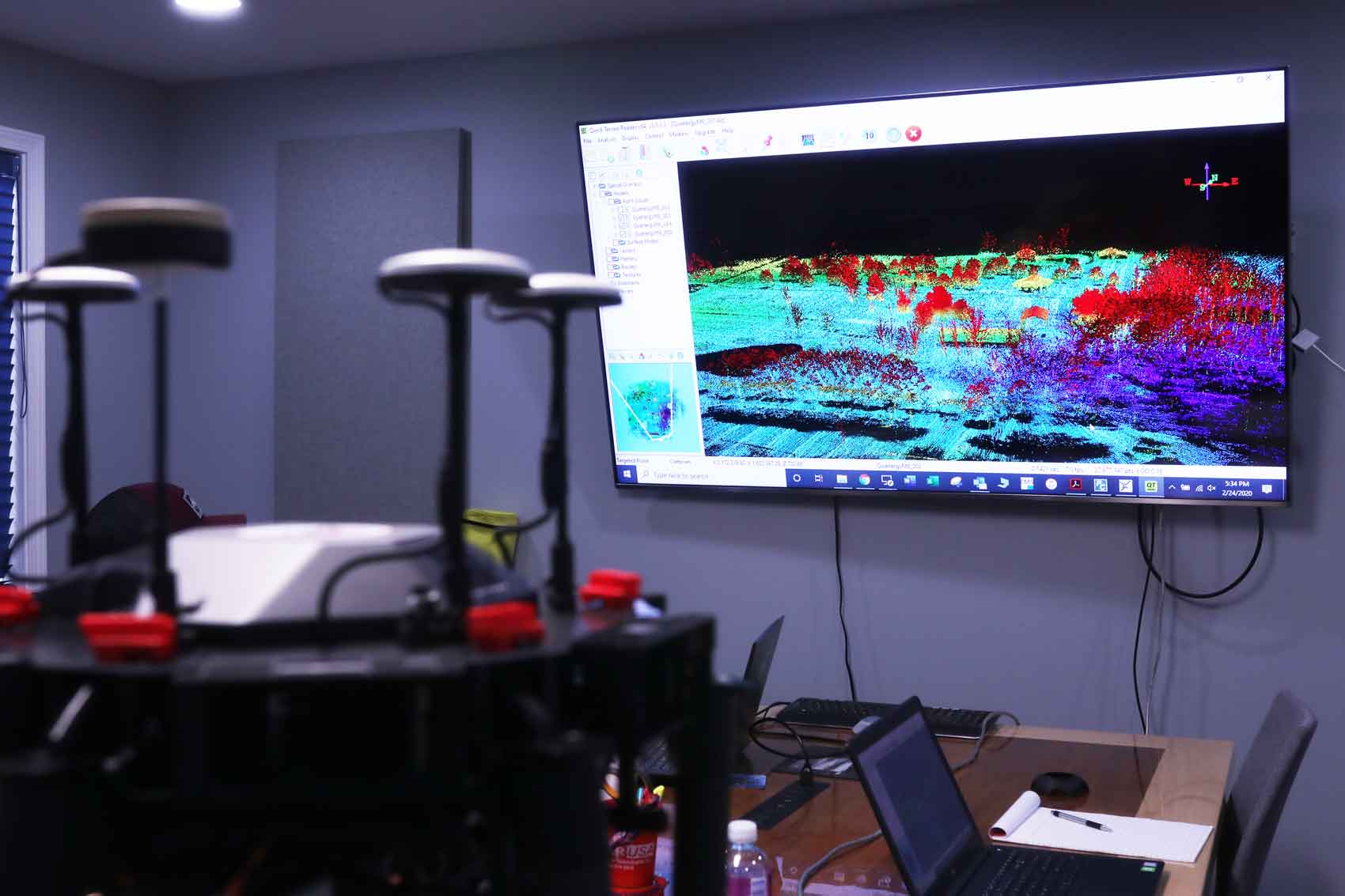
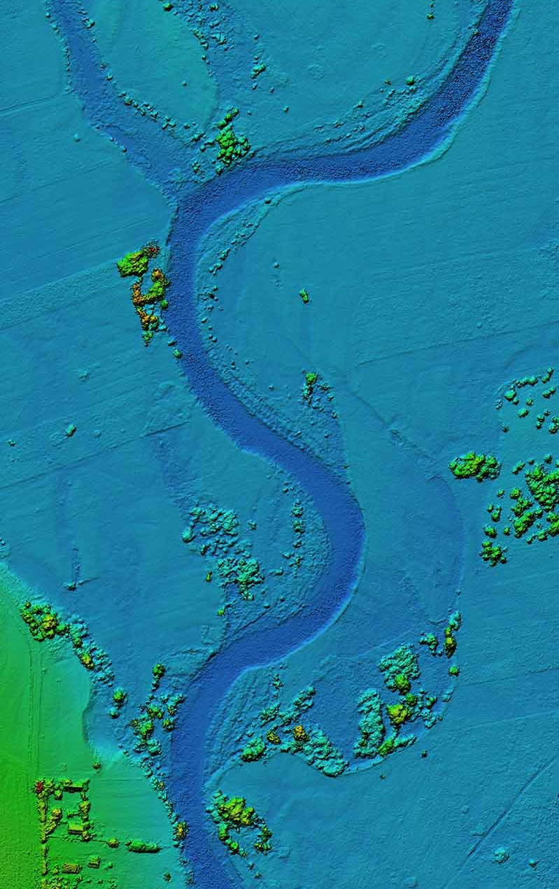
CONNOR offers drone surveying services that allow you to map and survey with a high level of precision and accuracy at a fraction of the time and cost. Whether you need data for a single property or for thousands of acres, we provide you and your engineers, architects, or land surveyors with actionable reporting using 3D mapping.
A Safer, Faster Alternative for Land Surveys
CALL: 443.322.1203
Drone land surveys provide precise mapping of your project at greatly reduced time and cost. CONNOR handles the entire process, from data collection, to analysis, to providing actionable reporting to you and your stakeholders.
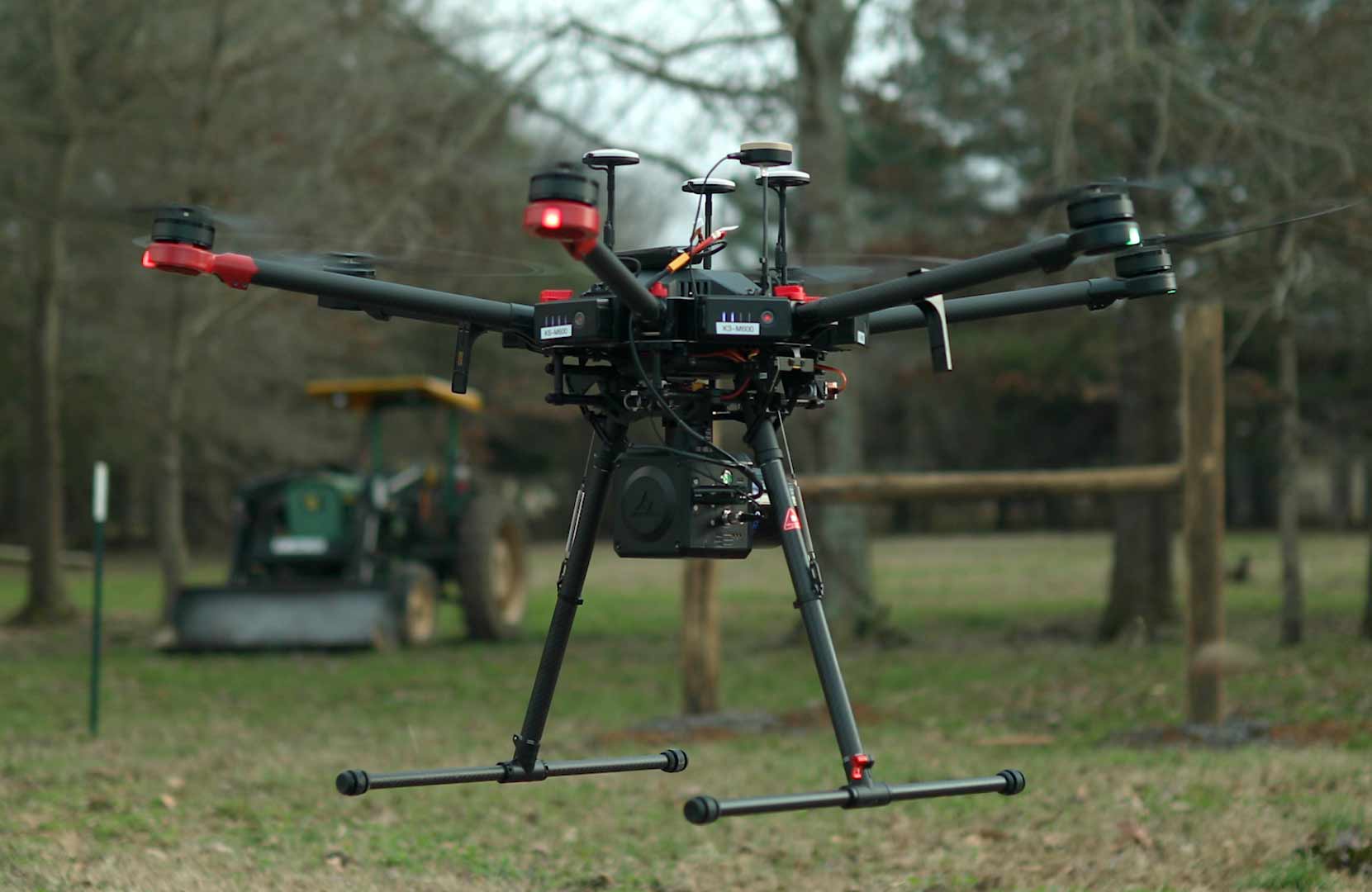
Our FAA licensed pilots use the latest in drone technology, 3D mapping, and photogrammetry to provide you with accurate data for planning your next project.


Drone Land Surveys Are An Ideal Solution for:

Decrease Field Time, Costs, and Disruptions
Large construction sites can take weeks for land surveyors to cover using traditional surveying methods. Drone land surveying saves time and money, and can be 5 to 10 times faster, requiring less manpower.
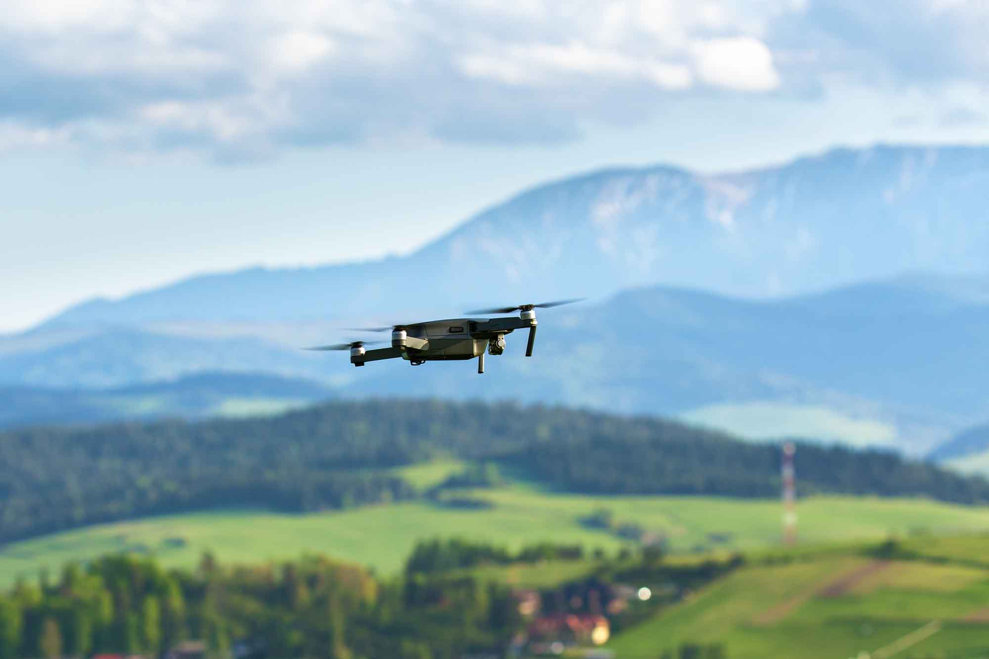
Our drones or Unmanned Aerial Vehicles (UAV)s can also conduct their surveys from the air, which allows operations to continue on the ground, without disruption.
Drones are the future of land surveying services, allowing for greater efficiency throughout your operations.

Contact CONNOR for a free consultation.
Find out if our drone land surveying services could save you time and money.
Drone surveys not only increase the efficiency of your operations, they also provide greater accuracy and more precise measurements.
After your drone survey is completed, you will have 3D models and high definition imagery from multiple angles. These provide a valuable resource throughout the course of your project.
For more information about our services, fill out our form or call us at 443.322.1203.
TIER 1 FLIGHTS
Tier 1 flights consist of an autonomous overhead (birds eye view) flight of the building(s) making multiple passes at various heights. While the flights are occurring, photographs are taken, at intervals, to insure coverage of the building and a map is created using the photos collected. The photos are then processed and reviewed for any areas of concerns which is compiled into this report. The limitations of Tier 1 flights are, but not limited to, onsite obstructions and areas identified as concerns may not have clarity in the photos to verify source or magnitude.
TIER 2 FLIGHTS
Tier 2 flights are manual flights specifically flown to obtain more detailed information from the Tier 1 flight evaluation. Tier 2 flights are historically engaged to identify possible source and magnitude of areas of concerns noted in the Tier 1 flight evaluation. The limitations of a Tier 2 flight evaluation are, but not limited to, obstructions found either beforehand or onsite that hinder the drone’s ability to complete an area specific flight.
