
DRONES FOR COMMERCIAL REAL ESTATE
CONNOR Drone Services for Commercial Property Management and Real Estate
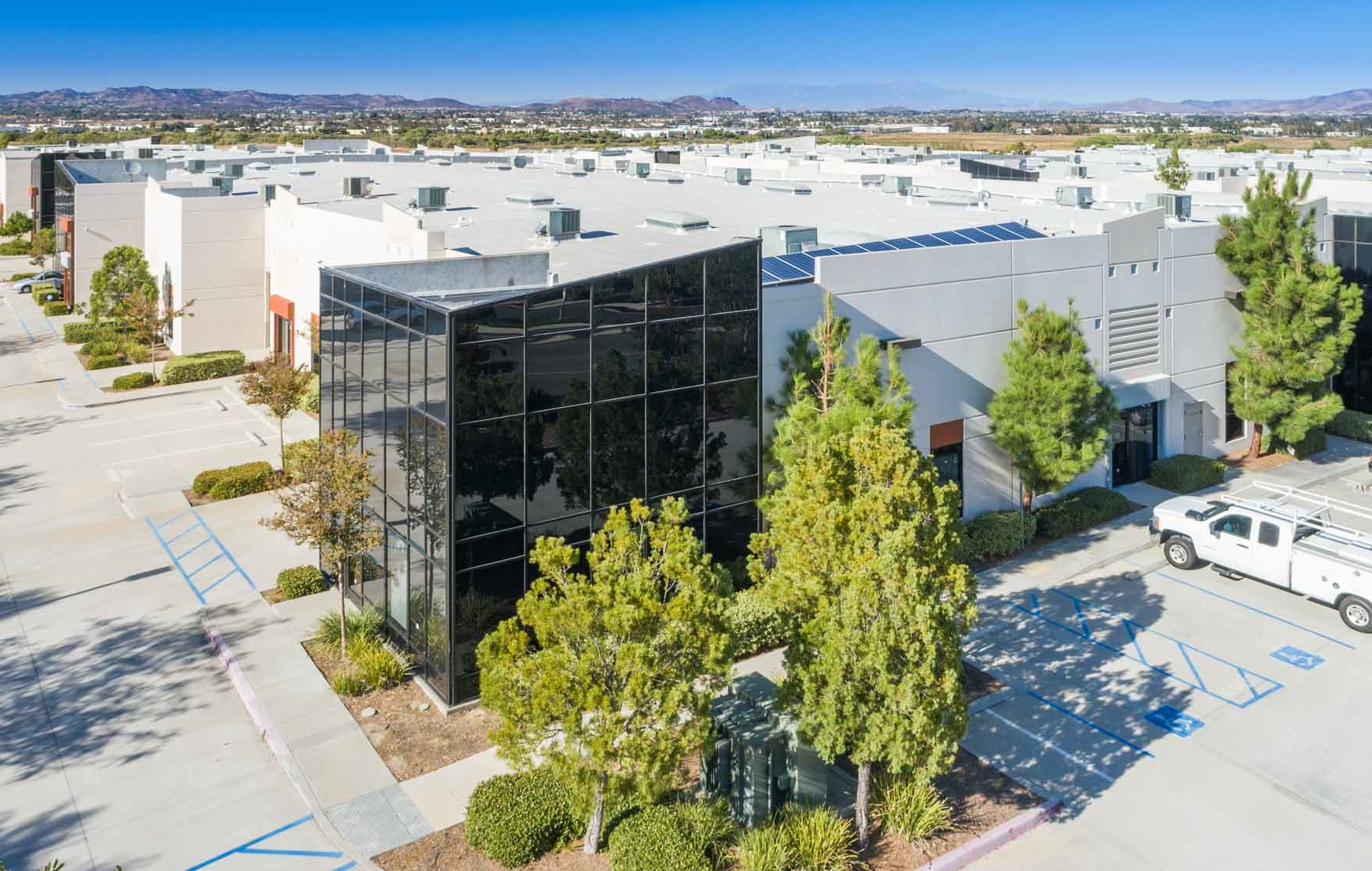
The commercial property management and real estate industry benefit greatly from the use of drone services in a number of critical areas. Commercial property managers are using drone technology for video surveillance of their assets, property inspections to develop maintenance plans, insurance reporting, and marketing.
CONNOR’s drone services will help you manage, maintain and advertise your commercial properties with safe, cost-effective drone inspections and photography.
Present Your Property to Investors with Compelling Aerial Video, Photos, and Reporting
CALL: 443.322.1203
Use aerial views of your commercial property to showcase location, parking, traffic, access points, and accommodations.
Not only do our in-house, FAA Licensed pilots capture beautiful imagery and video of your commercial property, they can also conduct commercial property inspections using thermal imaging, 3D mapping and photogrammetry. Our pilots are also experienced and licensed in aspects of environmental services and compliance and will provide you with detailed, actionable reporting.
SAVE TIME
Save an average of 5.5 hours by using a drone inspection instead of a manual inspection
SAVE MONEY
Save an average of $300 with a drone inspection that eliminates risk
Delivering More Than Just Photos and Video
CONNOR drone inspections are more than just photography and video. We have 65 years’ experience in environmental services, commercial real estate, multifamily housing, and compliance consulting. We understand the challenges and objectives of your project, and review your data to create actionable reporting.
Our FAA Certified Pilots are in-house staff, licensed, certified and experienced in multiple aspects of environmental services and construction. They see your project through the entire process, from flight plans to analysis of data, to reporting. We are a true partner to your operation.
OUR DRONE REPORTING SYSTEM CAN
DATA COLLECTION
Contact CONNOR for a free consultation. We’ll help you determine the right plan for your operation..
TIER 1 FLIGHTS
Tier 1 flights consist of an autonomous overhead (birds eye view) flight of the building(s) making multiple passes at various heights. While the flights are occurring, photographs are taken, at intervals, to insure coverage of the building and a map is created using the photos collected. The photos are then processed and reviewed for any areas of concerns which is compiled into this report. The limitations of Tier 1 flights are, but not limited to, onsite obstructions and areas identified as concerns may not have clarity in the photos to verify source or magnitude.
TIER 2 FLIGHTS
Tier 2 flights are manual flights specifically flown to obtain more detailed information from the Tier 1 flight evaluation. Tier 2 flights are historically engaged to identify possible source and magnitude of areas of concerns noted in the Tier 1 flight evaluation. The limitations of a Tier 2 flight evaluation are, but not limited to, obstructions found either beforehand or onsite that hinder the drone’s ability to complete an area specific flight.
For more information about our services, fill out our form or call us at 443.322.1203.